
When the clocks change and the sun stays out longer, it's a sure sign spring is just around the corner. But another tell-tale indicator is the boom in boat shows. From coast to coast, boat enthusiasts – both professional and recreational – come out in droves to see the latest models.
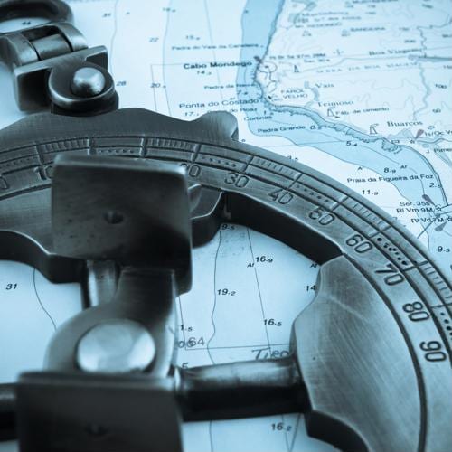
When you're new to boating, however, it can be difficult to find your bearings when you're out on the water, especially when you don't know how to read a nautical chart. This is a common issue that just about every rookie boater furrows his or her brow over when looking at one for the first time. Indeed, the melange of numbers, symbols and circuitous lines can make it seem like you're reading a foreign language.
As with anything, practice makes perfect, but to get your feet wet, here are a few nautical chart comprehension pointers to help you better navigate the open waters.
"'Danger dots' are indicative of surface risks that are nearby."
Numbers represent depths
Everyone differs when it comes to the features of a nautical map that they notice first. But one of the more prevalent markers you'll find are various numbers. At first blush, you may think these are longitude and latitude readings, but they're actually indications of how deep the water is. These are important to understand as they relate to your vessel because venturing over shallow areas could damage your boat, depending on the amount of space that's between the seafloor and your vessel. You also have to take into consideration the motor if it extends beyond your boat's bottom. This is particularly true if the numbers are on a nautical map are encircled by tiny dots. These "danger dots" are just that – an indication that there may be rocky terrain that can damage your vessel at the depth depicted.
Another aspect of depths to be cognizant about are units of measurement. As noted by Boating Magazine, depths are typically depicted in feet. However, they're sometimes in fathoms or meters. Fathoms measure about 6 feet and a meter a little over 3 feet. There should be a legend at the top of the page that delineates the units referenced.
Nautical maps are different from land maps, of course, but they're similar from a scale perspective. In other words, what may appear fairly close to the naked eye may in reality be much farther away than the symbols and markings depict. As a general rule, distances between various points are measured in nautical miles. These are the equivalent of about 2,025 yards or what translates to 1.15 statute miles.
Nautical charts highly unique
Whatever waters you're coursing over, they're unique, unlike any other in the world. Because of this, nautical charts are frequently tailored very precisely and include symbols that may not be readily recognizable from other charts you've seen. However, there are some similarities. BoatSafe.com details what some of them are here. For example, diamonds depict buoys, which may have tiny letters adjacent to them. An "n" typically means a nun buoy while a "c" is a can buoy. Diamonds that are bi-colored are bifurcation buoys.
Something to be mindful of is whether your chart is current or old A dated chart may be problematic because what it depicts may have changed due to climatic effects or man-made alterations. Check out the National Oceanic Atmospheric Administration website, which maintains a database of nautical charts that are updated weekly.
As a marine professional, you rely on nautical charts to be accurate. You can rely on Fisk Marine Insurance International to steer you toward the marine insurance that fits your needs, whether for your vessel, crew or both.