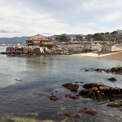
As ROV technology improves, the devices they may become more accurate or capable of performing better mapping. According to a recent Marine Technology News post, an ROV successfully mapped part of the sea floor of California's Monterey Bay in a recent project. The feat is significant because of the faster, more detailed information the process has produced ROV technology was able to produce.
"An ROV successfully mapped part of the sea floor of California's Monterey Bay."
While the type of ROV used was not identified, the source did describe the ULS-500 underwater laser scanner it employed. With the help of this mobile system, the unit was able to quickly render the floor of the Sur Ridge area.
Jason Gillham, CEO of 2G Robotics, the company behind the scanner, said that this accomplishment follows similar work his business has done over the past four years.
"We have been performing subsea vehicle integrations and providing dynamic scanning support since 2012," he said. "We have completed numerous AUV, survey class ROV and work class ROV installations on customer-owned vehicles worldwide. Our ULS-500 system has been specifically developed for dynamic scanning with a focus on high sample rates, timing synchronization and continuous data acquisition for faster, more efficient inspections."
Other efforts to map the ocean have also received attention. Last summer, Science Alert reported on Google's "Street View Oceans" project meant to encourage conservation. The company incorporated photos of the ocean into its system of street maps around the world.
The article said it had also joined forces with multiple entities to stay focused on ocean floor improvements, including the Office of National Marine Sanctuaries, part of the National Oceanic and Atmospheric Administration.
ROV operators may need insurance for themselves as well as new equipment they use. If so, more experienced providers will be in a better place to give it.

